


HCMC Metro Line 2: Latest 2026 Progress, Route and Property Outlook

HCMC Metro Line 2 is entering the station construction phase, making the Ben Thanh – Tham Luong corridor the center of attention for residents, businesses, and the real estate market. For actual home buyers, the question of interest is how commuting will change. For property owners, what needs to be evaluated is whether the connection to the station creates additional usage and exploitation demand.
To correctly understand the opportunities from Ho Chi Minh City Metro Line 2, it is necessary to simultaneously look at three factors: construction progress, station access quality, and urban planning around the route. Changes on the construction site today can open up long-term benefits, while creating traffic and business pressure during the construction phase.
HCMC Metro Line 2 Overview: project scale and scope
Ben Thanh – Tham Luong Metro is the route connecting the downtown area with the city’s Northwest gateway. The project uses Ho Chi Minh City’s budget capital, held its groundbreaking on January 15, 2026, with a planned completion in Q4/2030 according to information at the groundbreaking ceremony.
| Item | Key information |
|---|---|
| Article scope | Ben Thanh – Tham Luong section |
| Total length | About 11.3 km |
| Stations | 10 underground stations and 1 elevated station |
| Maintenance facility | Tham Luong Depot |
| Announced total investment | About 55,179 billion VND |
| Connecting corridor | Ho Chi Minh City Center – Cach Mang Thang Tam – Truong Chinh – Northwest area |
| Status | Constructing station items and related infrastructure |
Where does Ho Chi Minh City Metro Line 2 route go through?
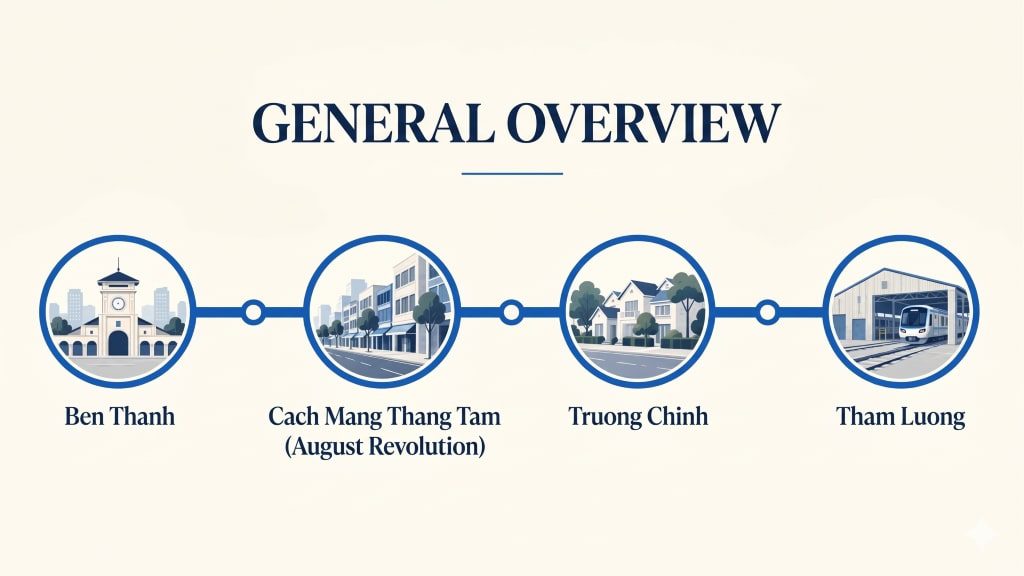
The Metro Line 2 route connects Ben Thanh station with the Cach Mang Thang Tam – Truong Chinh corridor, approaching the Tan Binh station area and Tham Luong depot. This is an urban axis with dense existing residential, commercial, and traffic activities.
The list of 11 stations in order includes: Ben Thanh → Tao Dan → Dan Chu → Hoa Hung → Le Thi Rieng → Pham Van Hai → Bay Hien → Nguyen Hong Dao → Ba Queo → Pham Van Bach → Tan Binh. Tham Luong Depot is a technical facility, not counted as a 12th passenger station.
The line’s value lies in its ability to add a high-capacity transit option on this corridor. If station access is convenient, users have an additional proactive option for their commuting, studying, and service-using journeys, reducing dependence on personal vehicles.
For real estate, the location of station entrances/exits is usually more useful than a route drawn on a map. A house that looks close to the metro might still require detours through intersections, fences, or streets lacking sidewalks. Therefore, evaluating Ho Chi Minh City Metro Line 2 should start with the actual journey from the front door to the station entrance.
Latest progress of Ho Chi Minh City Metro Line 2 up to October 2026
What has the construction site implemented?
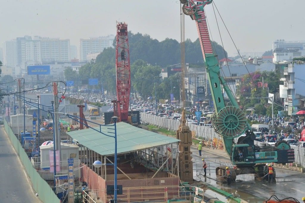
On July 2, 2026, MAUR and related units deployed the lowering of diaphragm wall steel cages at Pham Van Bach station. This station, along with Le Thi Rieng station, was prioritized to prepare conditions for the TBM tunnel boring machine. The underground station diaphragm wall category creates an enclosing structure for the deep excavation process.
Records announced on October 5 indicated that Le Thi Rieng station had constructed 40/87 diaphragm wall panels, equivalent to about 45.97%. This is the volume of this specific item at a single station, not representing the progress of the entire line.
To correctly read the progress of Ho Chi Minh City Metro Line 2, it is necessary to distinguish between construction and installation volume, site clearance, and capital disbursement. The supervision report dated August 19, 2026, by the City People’s Council recorded:
- Compensation and site clearance completed 100%.
- Relocation and reinstatement of technical infrastructure at 12/12 locations reached about 72.34% volume.
- Disbursement of about 6,154.5 billion VND out of the 2026 capital plan of 7,500 billion VND, equivalent to about 82%.
Traffic update on October 15–16, 2026
At the press conference on October 15, the Department of Construction informed about the flexible lane plan on Truong Chinh street, the Tay Thanh – Cong Hoa section. The regulation plan prioritizes the direction towards the center in the morning and the An Suong direction in the afternoon to reduce pressure around the construction site. The information was announced by the City Information and Communication Center on October 15 and reported by Saigon Financial Investment Newspaper on October 16.
Previously, from October 10, traffic organization was adjusted in the Tao Dan station and Bay Hien station areas. Commuters passing through Cach Mang Thang Tam, Nguyen Thi Minh Khai, or Truong Chinh should follow signage and actual regulation instructions.
For stores and offices, the immediate impact of Ho Chi Minh City Metro Line 2 lies in changes to customer flow, pick-up/drop-off points, and delivery times. Business owners should update access instructions, notify customers of alternative routes, and track revenue according to each barricade phase.
When will Ho Chi Minh City Metro Line 2 operate?
| Expected milestone | Work | How to understand |
|---|---|---|
| October 2027 | The first TBM machine is ready to operate, starting tunnel boring | Technical milestone according to the announced schedule |
| March 2029 | Complete the main structure of the stations | Not yet open to passengers |
| End of 2029 | Complete the installation of mainline and depot tracks | Continue system completion steps |
| End of 2030 | Expected acceptance, handover, commercial operation | Passenger service milestone in the announced schedule |
With housing or business plans depending on Ho Chi Minh City Metro Line 2, room should be left for the completion, testing, and operation preparation phase. The usage value is only fully realized when passengers can access the route regularly, conveniently, and safely.
Metro Line 2 TOD: What do 5 areas of nearly 940 hectares mean?
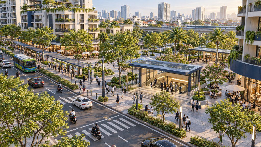
TOD is transit-oriented development. Instead of viewing a station as an independent stop, this approach organizes living space, jobs, and services linked to the ability to use public transport.
According to information published by Nhan Dan Newspaper on September 26, 2026, Ho Chi Minh City approved the TOD planning boundaries for the Ben Thanh – Tham Luong section in Decision 3651/QD-UBND on June 19, 2026; the planning dossier is expected to be submitted for appraisal and approval in December 2026.
| Area group | Announced stations/areas | Approximate area |
|---|---|---|
| Area 1 | Ben Thanh, Tao Dan | 188.57 ha |
| Area 2 | Dan Chu, Hoa Hung, Le Thi Rieng, Pham Van Hai, Bay Hien | 265.07 ha |
| Area 3 | Nguyen Hong Dao | 43.81 ha |
| Area 4 | Ba Queo, Pham Van Bach, Tay Thanh | 148.92 ha |
| Area 5 | Tham Luong Station and depot | 292.81 ha |
For those researching Ho Chi Minh City Metro Line 2, TOD opens an additional perspective on urban quality around the stations. However, a property located near the route does not automatically confirm the right to increase floors, change functions, or a price increase level. Those issues need to be cross-referenced with the property’s specific planning and legal records.
How does Ho Chi Minh City Metro Line 2 impact real estate?
The section below is an analysis of the impact mechanism, not a forecast of price increases for each project. For real estate near the metro, what matters is whether a transportation advantage translates into actual residential, rental, or business demand.
Accessibility expands housing choices
If the station connects conveniently to daily destinations, buyers can consider additional areas outside their current workplace. Ho Chi Minh City Metro Line 2 could become an additional criterion when comparing apartments, townhouses, and rental homes along the route’s corridor.
However, train travel time is only part of the journey. It is necessary to add walking time to the station, waiting for the train, and traveling from the destination station to the workplace. This calculation method helps evaluate the usage advantage closer to demand than the straight-line distance.
Commercial demand depends on actual foot traffic
A premise near a station entrance might be suitable for passenger-serving businesses, but it also depends on pedestrian directions, pick-up/drop-off stopping capabilities, frontage scale, and industry type. Located on the same street, two properties might have different exploitation efficiencies.
Therefore, real estate research along the Metro Line 2 route should combine field surveys with actual rental income, vacancy rates, and operating costs. The expected foot traffic needs to be translated into testable business assumptions.
Infrastructure expectations need to be placed alongside purchase prices
Expectations about Ho Chi Minh City Metro Line 2 may have already been factored into the asking price by sellers. When comparing properties, it is necessary to see if the added price is commensurate with the access advantage, construction quality, and usage demand.
| Property group | Potential advantages formed | Data to check |
|---|---|---|
| Apartments for actual residence | Additional options for commuting, studying by metro | Door – station entrance – destination journey |
| Rental houses/apartments | Access to customer groups who value public transport | Actual rent, vacancy rate, maintenance costs |
| Commercial premises | Access to foot traffic through the station area | Station entrance direction, sidewalks, customer flow, industry type |
| Alley townhouses | Ability to connect with service axes and stations | Walkways, clearance, living environment |
A good evaluation profile for Ho Chi Minh City Metro Line 2 needs to explain who the property serves, how conveniently it connects, and what data the price is based on. These three questions help distinguish well-founded opportunities from unproven expectations.
Five points to check when choosing real estate near Metro Line 2
- Measure the journey to the station entrance: test walk the route, observe sidewalks, crossing points, and access time.
- Cross-reference planning and legalities: check the correct property records; do not use a route corridor map to substitute land plot information.
- Survey during peak hours too: evaluate noise, deliveries, pick-up/drop-off points, and walkability during the construction phase.
- Compare transaction and rental prices: view similar properties, separate asking prices from verifiable transaction levels.
- Establish usage plans if progress changes: check that the property still suits current residential or exploitation needs before factoring in metro advantages.
Once the above criteria are clarified, Ho Chi Minh City Metro Line 2 becomes an evaluable component in housing and business decisions. Buyers also have grounds to ask consultants specific questions, instead of just receiving the “near the station” message.

Six frequently asked questions about Ho Chi Minh City Metro Line 2
Monitor Metro Line 2 with data, choose properties according to real needs
Ho Chi Minh City Metro Line 2 creates an additional development direction worth monitoring for the Center – Northwest corridor. From a housing and business perspective, the station access quality and ability to serve daily needs will determine the advantage of each location.
Instead of just tracking an expected completion year, update the construction site, TOD records, and the property’s usage conditions over time. This approach helps infrastructure information become a clear basis when comparing options.
To discuss specific needs, please contact N.N GROUP. You can also refer to Metro Line 6 and Metro Line 7 to understand the city’s other connecting corridors.